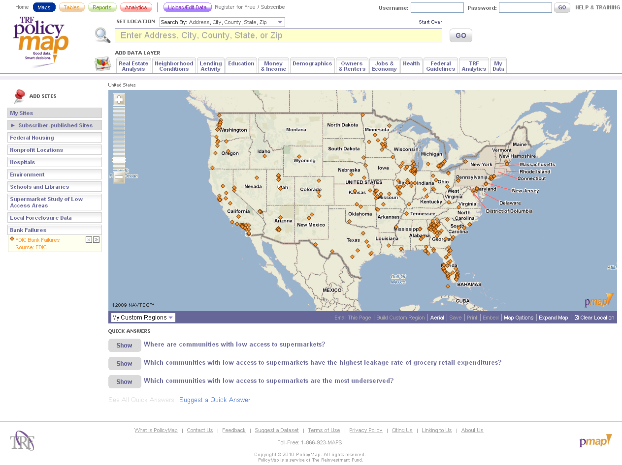
PolicyMap - Visualize Local Health Data
Visualize, understand and share local health related data for the nation from the USDA, CDC, HHS and Census. All in one place. Visualize how something like the obesity rate compares across the U.S. in both an interactive map and ranked table. Do the same for other indicators by selecting one from the data menu on [...]
